 bNomadic
The following post is a part of the “Kailash Mansarovar Yatra” Blog Series Into the Sacred Space. To read complete travel memoirs and trip report, please visit here.
Deeply elated and enriched with the experience of the divine Kailash Mansarovar, we left the geological wonder and began our journey back home. Even though, physically we had left the holy land but mentally we were forever initiated into inspirational and secure realms of the Sacred Space. The serenity of the landscape we saw on our return journey was overshadowed by the calmness of the holy region. On our journey back home to reach the Nathula, we followed precisely the same route as well as same fuel stops and campsites as we had initially. The journey seemed less rough but even more stimulating than our previous tête-à-tête with it.

The glittering Gurla Mandhata. Photo by Rita Willaert

The ancient Chiu Monastery by the Mansarovar. Photo by Rita Willaert
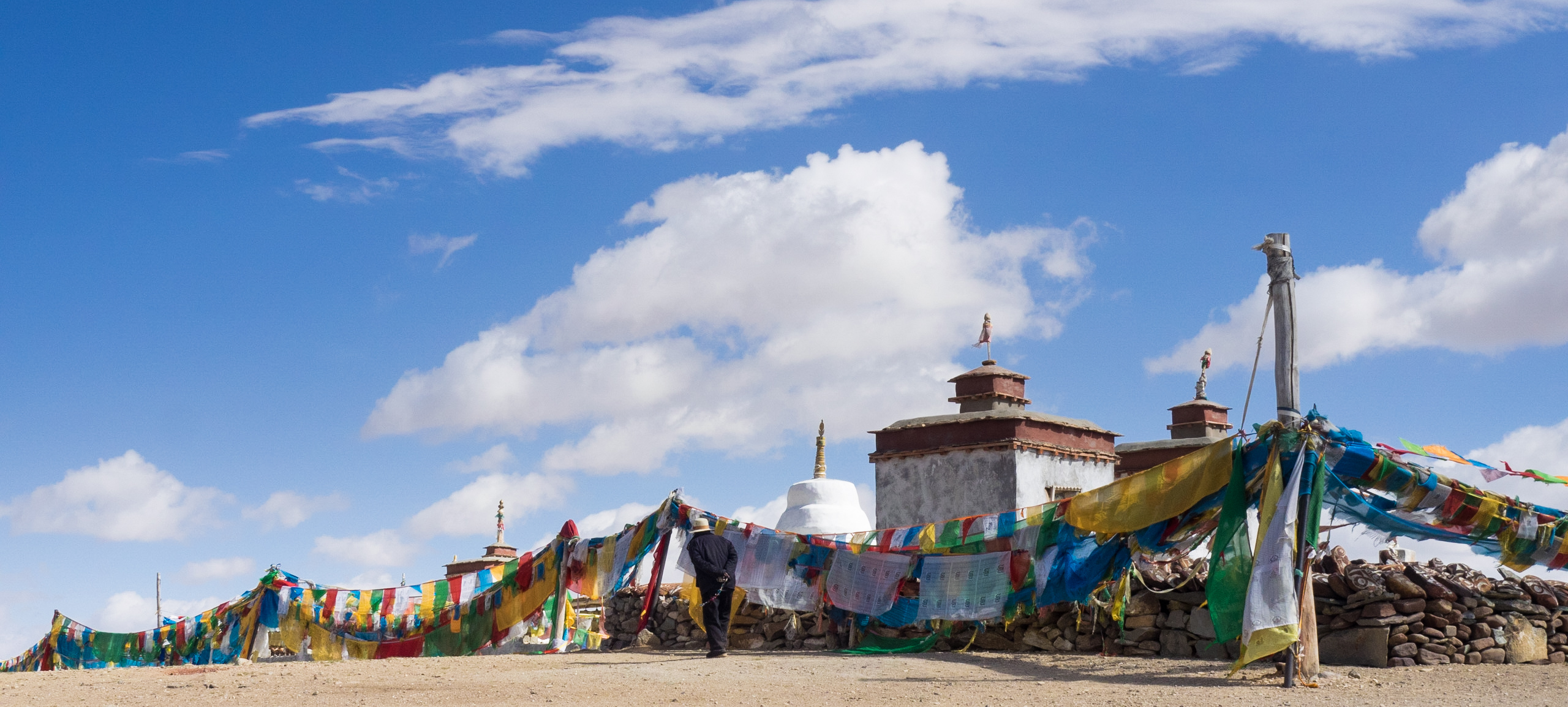
A different take from the same place, Chiu Monastery. Photo by Rita Willaert
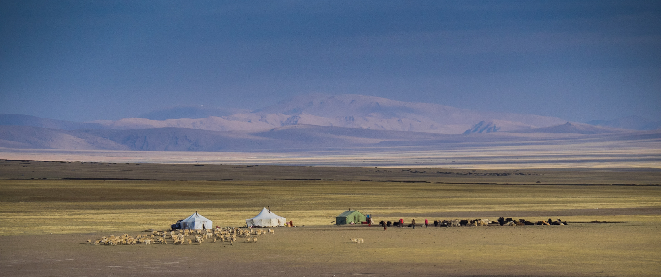
Modern Nomads at Barkha; in the shadow of Gurla Mandhata. Photo by Rita Willaert

Approaching the Mayum La. Please visit Flickr for more images of the region/ yatra

Steppes!; near Paryang. Please find more images from the region at Flickr Photoset
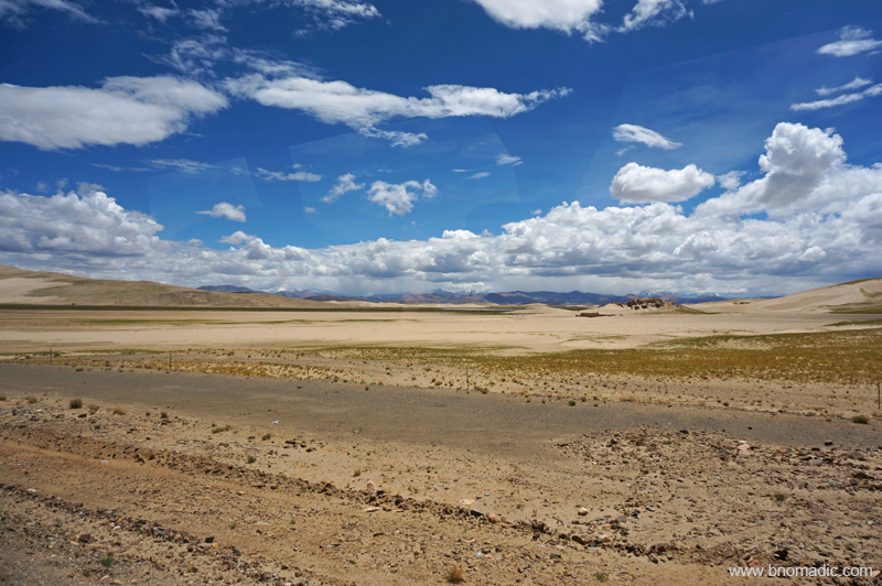
Semi-desert!; near Zhongba. More images from the region at Flickr Photoset

Greener Pastures!; near Saga. Please visit Flickr Photoset for more images of the region/ yatra

Desert!; Yarlung Tsangpo Chu also in the frame. More images from the region at Flickr
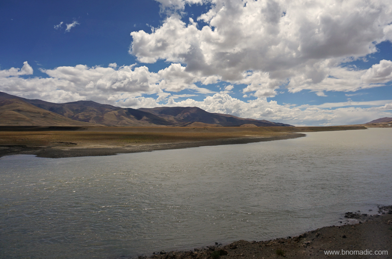
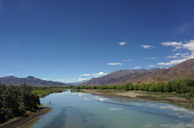
The Yarlung Tsangpo Chu (still infant); Please visit Flickr Photoset for more images from the region
A large part of the highway we were following had yet another historical context; trade economics. Depending upon the article to be traded, portions of the highway were popular as Silk Route, Tea Route of Horse Caravan Route. Life supporter for many communities, such routes continue to be sacred for many traders, even though, modernisation has undermined its commercial significance. After Lhasa; Yadong, Kangma, Gyantse, Shigatse, Lazi and Saga were the important trading centres in Tibet while in India; Almora and Kalimpong used to be the entrepôt of the Indo-Tibetan trade. With time because of the emerging politics, the focus too shifted.

High-altitude desert; Photo by Jen Reurink

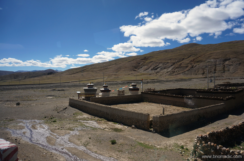
An ancient religious site (forcefully ruined and restructured later). More images at Flickr Photoset

Wide open high-altitude plains. More images from the region at Flickr

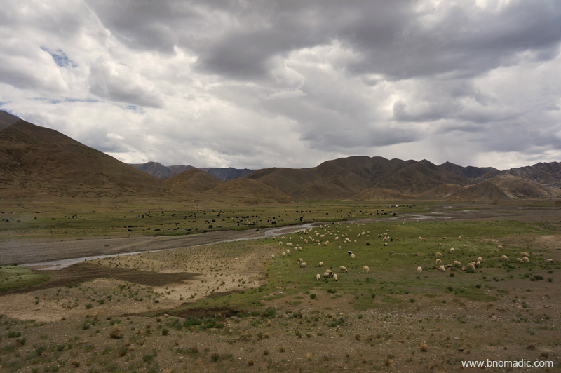
Occasional shrubbery; feast for sheep. More images from the region at Flickr Photoset
Even though, the Tibetan civilisation is quite young than the Indian society flanking it from south as well as the Chinese empire spread along its north and eastern boundaries, yet it continues to have one of the most intriguing and fascinating cultures on the globe. Their mental complexity is second to none. Despite them being a peaceable race, the later part of previous century delivered a cruel fate to these hard-working people. Before the Chinese intrusion, this mysterious land of snows preferred to lock itself among the Himalayas; capturing the imagination of the west during all this while. For surveyors, explorers, traders or imperialists, it was a forbidden land of treasure. Those eyeing a spiritual quest advocated about a lost Shangri-La.

More grazing grounds; miles apart. More images from the region at Flickr Photoset

Some more Wild Asses, Kiangs on the Tibetan plateau. Photo by Rita Willaert
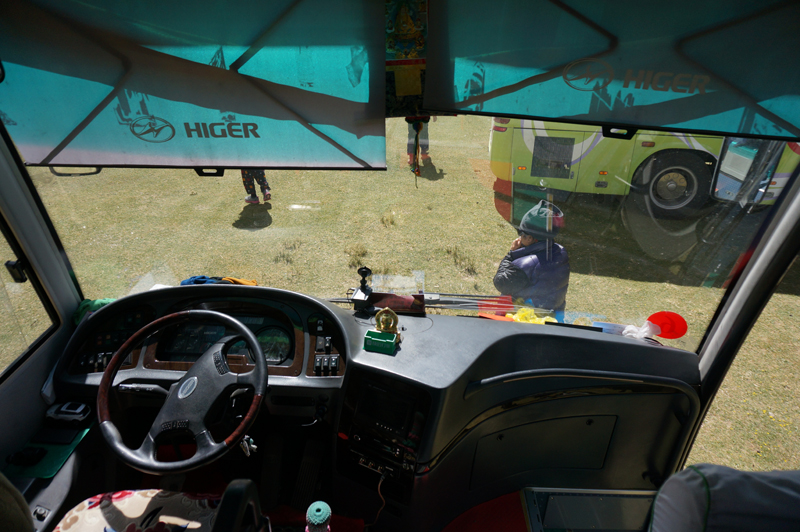
Left-hand drive. Please visit Flickr Photoset for more images of the region

One of the campsites for lunch. More images at Flickr Photoset

A typical fuel pump at a hard-to-imagine location. More images at Flickr Photoset

Photo by Rita Willaert
In his book Freedom in Exile, His Holiness the Dalai Lama writes, “Go to Tibet and see many places, as much as you can; then tell the world.” I couldn’t agree more with the fact that Tibet truly is one of the most remarkable natural wonders to visit on the planet. Apart from the stunning views and breath-taking high-altitude treks, the highland has intriguing monasteries, habits and a unique culture. Our expedition took us across glittering mountains and turquoise lakes over high mountain passes typically adorned with colourful prayer flags. Whether for meditation and prayer; monasteries or ruins of forts and hermitages; casual to professional mountaineering; or just for an overland road trip, the scope for adventure up here is limitless.

The mighty Yarlung Tsangpo Chu. More images from the region at Flickr Photoset

View from a high-altitude pass near Saga. More images from the region at Flickr Photoset
Another scarce pastureland near Sangsang. More images from the region at Flickr Photoset
Somewhere in the Yarlung Tsangpo Valley. Photo by Jen Reurink
Figuratively speaking, our Tibetan sojourn was in the reverse mode. Travelling through Tibet, I am persistently thinking of the political situation of the country. Geographically the region commands a very large area but has always been sparsely populated. Today, the area is commanded by Chinese military with its control centre located at Beijing, almost 3,700 km from its capital at Lhasa. The Tibetans have been forced to become a minority in their own homeland. Although, the Chinese have conferred the country with the label of Tibet Autonomous Region (TAR); independence here is only imaginary with even minute dissent against the administration being unfeelingly supressed.
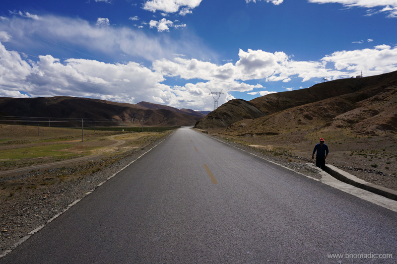
G219, a little before Lazi. More images from the region at Flickr Photoset
Through the Sakya Territory. More images from the region at Flickr Photoset
A tributary to the Brahmaputra (Yarlung Tsangpo Chu). More images at Flickr Photoset

Bike accessory headgear put to multiple use. More images at Flickr Photoset
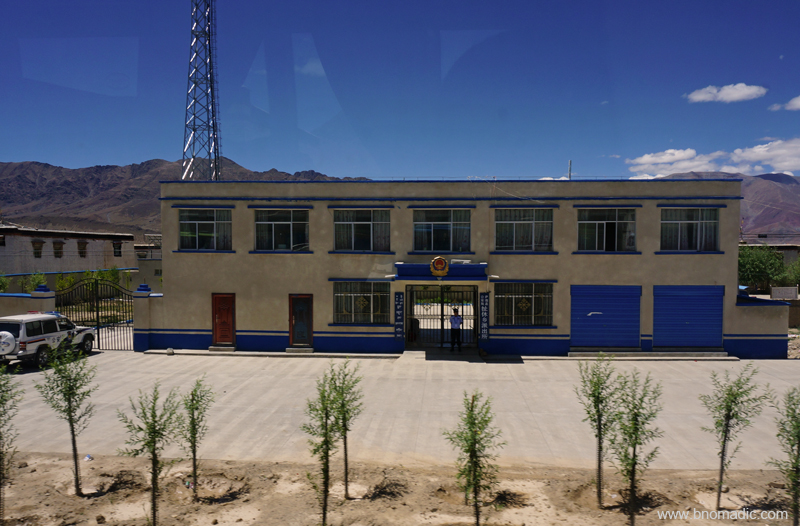
A typical Police Station. Please visit Flickr Photoset for more images of the region
As momentary travellers, we had limited window to observe the social and cultural undercurrents of Tibet. Nevertheless, with their concrete colonies typically bedecked by the flag of China instead of usual prayer flags and police or army installations springing up out of nowhere, the villages and townships along the highway offered some evidence of ongoing changes. The labour force engaged along the highway or in such settlements comprised mostly Tibetans; their superiors mostly Chinese. Taking a walk in the streets, one would smell enough indication of invasive control by a rather dictatorial regime that often governs with arrogance, insensitivity or even stupidity.
Much of the devastation happened between 1950 and 1970 when the Chinese seized control of the plateau and in the process drove the Dalai Lama along with nearly 100,000 Tibetans into exile. It was around this time when the new regime steadily pulled apart a majority of the cultural as well as historical heritage of Tibet under the garb of a revolution. The political leader of the newer rule, Chairman Mao replaced the images of the traditional deities with his portrait. However, with the onset of some global sense coupled with increasing tourism interest and the doors to Tibet for outsiders were opened in the mid-1980s but by that time everything presentable was in ruins.
The calm Lang Tso; just before Lazi or Lhatse as administration would call it. More images at Flickr

Batch One Yatris with Chinese and Tibetan staff. More images at Flickr Photoset
Getting emotional and all…Please visit Flickr Photoset for more images
Some cultural extravaganza. Please visit Flickr Photoset for more images
With time business interests of the Chinese diversified and the investment came. But as predicted, development happened on China’s terms. With a slew of infrastructural projects, new hotels, mushrooming restaurants or bars mostly looked after by Chinese benefitting the Chinese; keen observers called it the second invasion. Lhasa is booming, modernised or rebuilt and so are many of the earlier trade junctions spread across the highland. Most multi-storied apartments, I noticed, remains unoccupied. Once a remote sanctuary of hardy travellers, it is now the Chinese tourists who throng the Potala or wildest of treks. With every passing month Tibet is changing fast; looks less and less like itself. Someway, the Tibetan pilgrims across the land are once again picking up the rhythm, chanting mantras and swinging their prayer wheels in isolation. Led by dollar hungry tourism initiatives, many monasteries have been restored across the highland and a limited religious freedom too has been granted.
The underlying genuineness of the situation is that Tibet continues to be a spirited country fortified by a unique culture and rocklike faith. It is a sort of place that might change the way you see or travel the world and that will remain with you for years to come. And that’s certainly the meaning of the very best of travel!
Marshy tract near Kangmar county border. More images at Flickr Photoset
The welcome gate to the Kangma county of Shigatse Prefecture. More images at Flickr Photoset

Snowy peaks near the border of Kangma county. More images from the region at Flickr Photoset

The Chomolhari; Its sheer north-face rises over 2,700 m above the barren plains just before Yadong Valley. More images from the region at Flickr Photoset

The infant Amo River before Chumbi Valley. More images from the region at Flickr Photoset

The Amo Valley. Please visit Flickr Photoset for more images of the region/ yatra

The green Chumbi Valley and the road to the Nathula. More images at Flickr Photoset

Negotiating a landslide just before Nathula. More images at Flickr Photoset
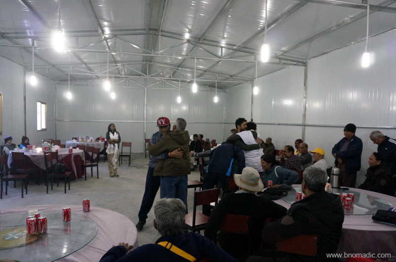
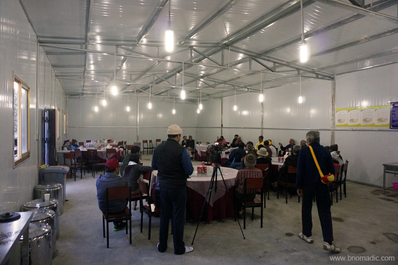
In about four days we were back at our first station in Tibet, Kangma township. A mind stirring fortnight-long excursion into the trans-Himalayan region was coming to an end. By the time we reached the Tibetan end of the yatra at Kangma, our groupies were overjoyed to have undertaken the trip. At Kangma, our Liaison Officer organised a small thanksgiving event for the Chinese management who travelled with us and helped us in organising this yatra. Even though I joined this program very late but from what I remember I saw yatris embracing each other in acknowledgement of having completed the most sacred pilgrimage. They hold each other as brothers and close friends, though most of them would never meet again.
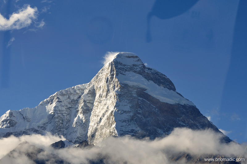
The 7326m Mt Chomolhari. More images from the region at Flickr Photoset


Pingback: Into the Sacred Space | bNomadic
Pingback: A Glimpse of Eternity by Mansarovar | bNomadic
Lovely pics.
Thanks! Keep visiting bNomadic for more such travel stories 🙂
Amazing pictures of colorful land of colorful people.
Unable to express in words
But one thing I am bound to think………….Photographers have some special skill.
It is usually said,
Where SUN can,t reach, a poet reaches.
But I can say Photographer s mind also reaches and can picturise.j
Thank You Parashar Ji! Thanks for showering it with appreciation. Keep visiting bNomadic 🙂 Om Namah Shivaya!
बहुत सुन्दर
Thanks 🙂
I went to Nathula many years back
Great! I am sure you’d have had a good time. Keep visiting bNomadic for more such travel stories 🙂
Such outstanding pictures… what a treat it must have been for your eyes… thank you for sharing it with us 🙂
Cheers, Archana – http://www.travelwitharchie.com
Absolutely Archana! Visual as well as spiritual treat. Glad you liked it. Keep visiting bNomadic 🙂
bNomadic, Pics are really awesome and classic, I like the way of presenting into the post also… This pic “Bike accessory headgear put to multiple use. ” really nice, that i like most in this post,
Thanks admin 🙂 Glad you liked it. Keep visiting bNomadic!
Great pix.
Thanks! Keep visiting bNomadic 🙂
Wow! What a journey.
Besides memories and connections to the spiritual world, you are bringing back wonderful photos, too. 🙂
Thanks! also for showering it with appreciation. Keep visiting bNomadic for more such travel stories 🙂
Always a pleasure reading your journeys are the pics are just enthralling!
Thanks Sir! Keep visiting bNomadic 🙂
Pingback: The Festivities Around | bNomadic
Pingback: The Festivities Around | bNomadic
Engrossing and entertaining trails
Thanks:-) Keep visiting bNomadic for more